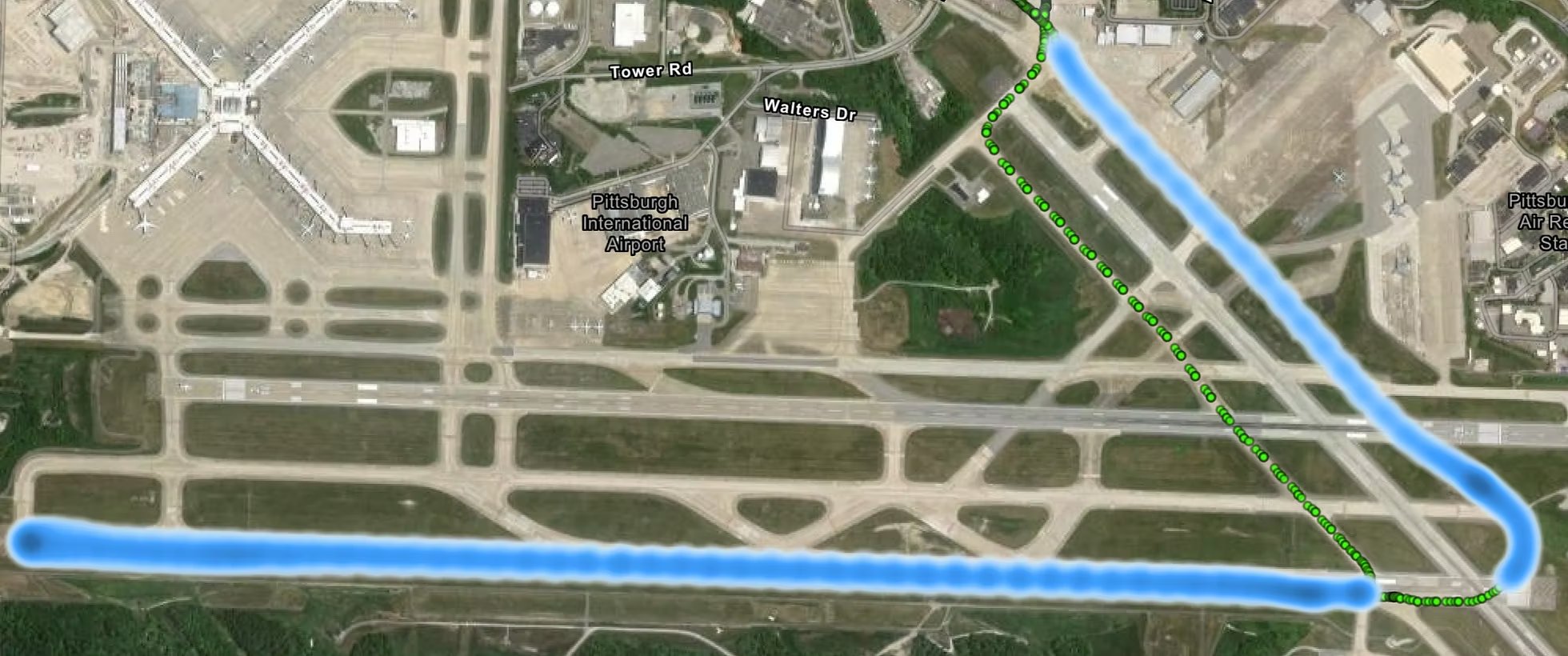
Precise GPS Tracking
Advanced GPS positioning creates detailed coverage maps showing exactly where your assets have been, enabling comprehensive performance analysis and optimization.
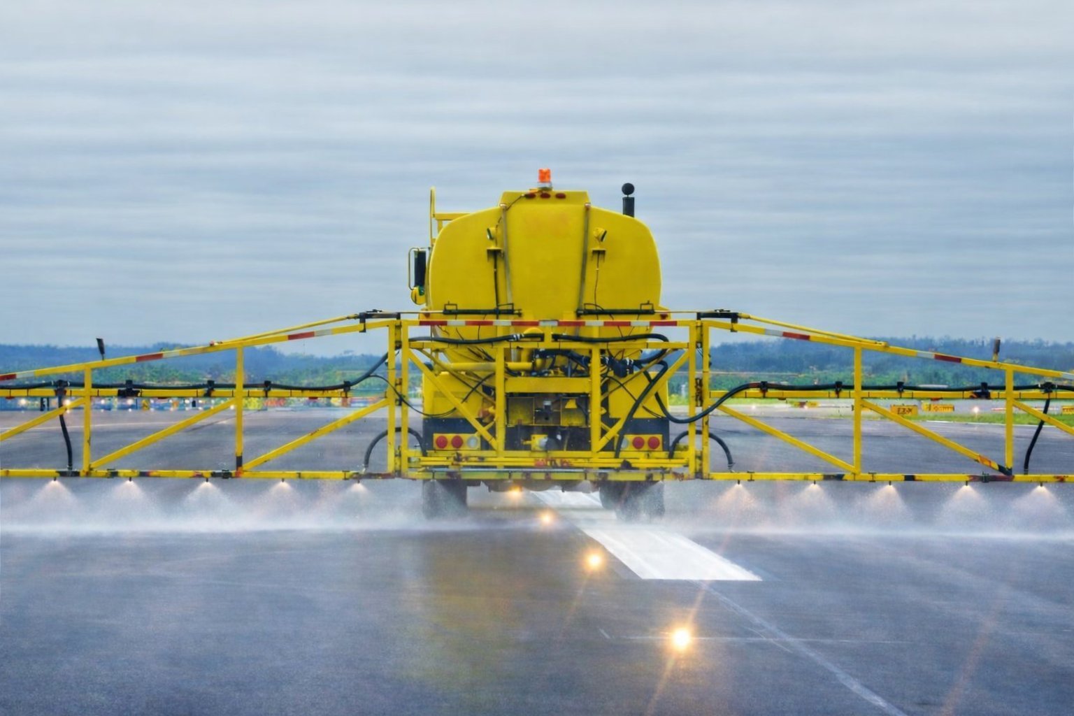
Universal Sensor Integration
Our onboard computer integrates with any sensor system, enabling customized tracking for de-icing, line painting, spraying, mowing, and countless other applications.
Automatic Data Collection
We offer flexible Wi-Fi or cellular connectivity that automatically syncs data to the cloud, enabling fast, easy real-time monitoring of flow rates, coverage patterns, vehicle speed, and consumption.
Live Operational Dashboards
Access real-time performance data anywhere through secure cloud dashboards showing exactly what's happening in the field right now.
Instant Compliance Reports
Generate detailed reports automatically for regulatory requirements, eliminating time-consuming manual documentation and ensuring complete accuracy.
Complete Audit Trail
Every operation is timestamped and geo-located, creating an immutable record that supports accountability and verifies work completion.